
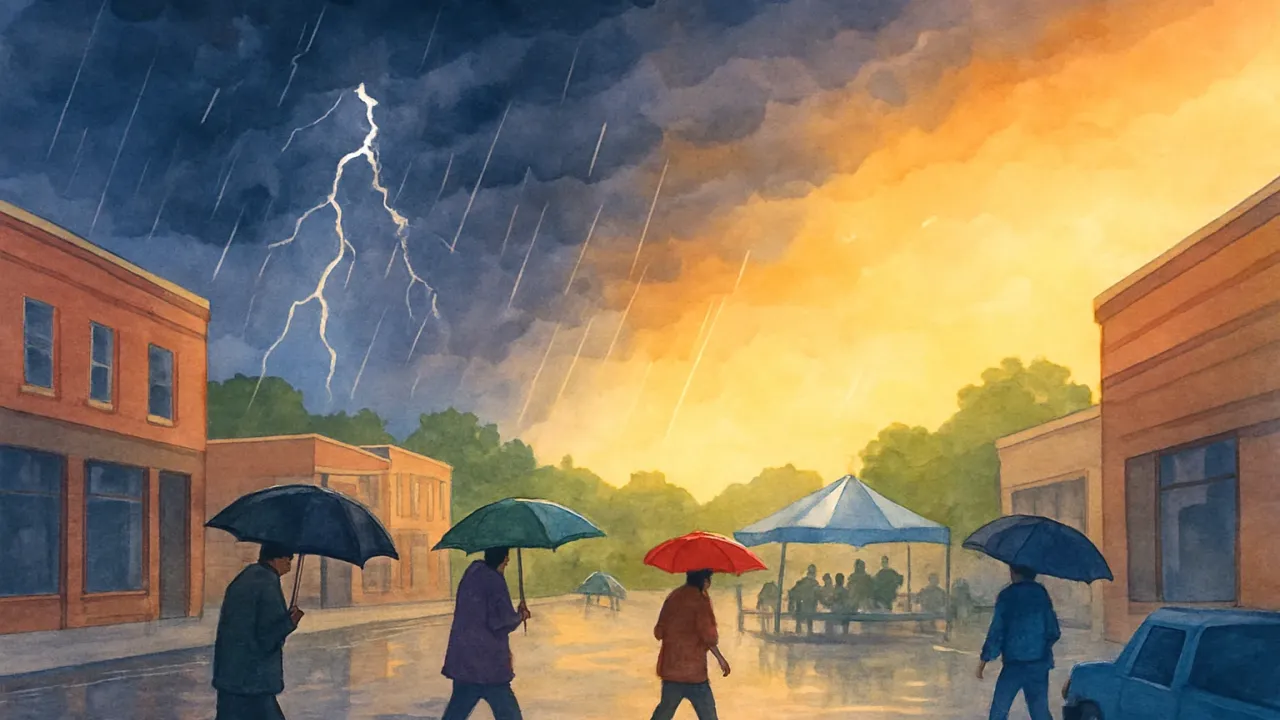
As a storm system and warm front move in Thursday evening, more numerous and heavier downpours and thunderstorms are expected to continue into Thursday night. The best-case scenario for the Thursday evening match would be lighter rain with no lightning, but heavier rain with embedded lightning is more likely during the game.
The heaviest rain is most likely from 7 p.m. Thursday to 7 a.m. Friday, with widespread totals of 1 to 3 inches possible and locally higher amounts. After the wet period, conditions shift quickly to heat and humidity, with high temperatures in the lower 90s from Sunday through at least the middle of next week and heat index values above 100 degrees each afternoon.